MZB Zone Descriptions
MZB Zone Descriptions
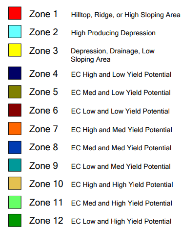
Definitions
Real Time Kinematic (RTK) elevation is used to determine the areas of a field most affected by elevation differences.
Electrical Conductivity (EC) is measured with the Veris 3150 EC cart. More information is available at veristech.com.
EC High = High clay or soluble salt content relative to the rest of the field.
EC Med = Average clay or soluble salt content relative to the rest of the field.
EC Low = Low clay or soluble salt content relative to the rest of the field.
Yield Potential pertains to the measure of plant vigor through the use of satellite imagery or t actual yields measured by a combine yield monitor.
FieldReveal Map Types
MZB
MZB fields are zoned fields with up to 12 management zones, but typically 6-8 zones depending on the field. Layers used during the zoning process include electrical conductivity, RTK elevation, and a yield potential layer. Satellite imagery or yield data can be used as the yield potential layer. The Mapping Center collects the in-field data using a Veris 3150 EC cart and RTK capable GPS. MZB fields provide the most detail and highest level of zone management.
MZB Lite
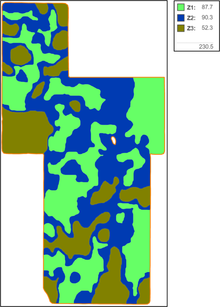
MZB Lite fields are zoned fields with up to 5 management zones. This means the predominant feature within the zone is described by the zone label and the zone may contain small areas that would fit other zone descriptions if the field were a MZB. MZB Lite fields may include two topography zones (Zone 1, 2, or 3), a low yield potential zone (Zone 5), a medium yield potential zone (Zone 8), and a high yield potential zone (Zone 11). Elevation and a yield potential layer are used to create the management zones. Satellite imagery or yield data can be used as the yield potential layer. Elevation data may be derived from LIDAR or DEM.
GeoRef Plus
GeoRef Plus fields are zoned using only satellite imagery. This map type will have three management zones: low yield (Zone 5), medium yield (Zone 8), and high yield (Zone 11). GeoRef plus fields are composite sampled. GeoRef Plus is designed as entry-level zone management.
Non-MZB
Non-MZB zone maps can be single layer zone maps or zone maps imported from other sources and managed in the FieldReveal Platform. Non-MZB zone maps can be zone sampled.
GeoRef Composite
GeoRef Composite fields consist of a field border and sampling points. Georeferenced sampling points are saved to the field so the same points can be resampled year-after-year.
Non-GeoRef Composite
Non-GeoRef Composite fields have only a border. This map type can be used on non-precision fields (pasture, pivot corners, etc.) so that every field in a grower’s operation can be managed in the FieldReveal Platform.
Grid
Grid fields are grid sampled. These fields can also have a zone map for setting yield goals.
MZB System
MZB Lite
GeoRef Plus
MZB System
MZB Lite
GeoRef Plus